Ground control by GPS and
replacement of edges of mines - project of technical attendance
for the development of the Argentine mining sector (PASMA).
Stages I and II.
Location:: San Luis, Chubut, Santa
Cruz y Tierra del Fuego – Argentina.
Organism: Secretary of Industries and Mines - Ministry of Economy
and Works.
Address:: Av. Julio A. Roca 651 – Buenos Aires (Argentina).
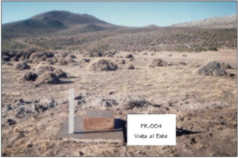
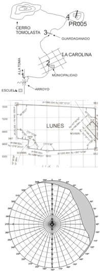
Type of Works made: Geodesic network and ground
control with GPS and replacement of edges of the granted mines
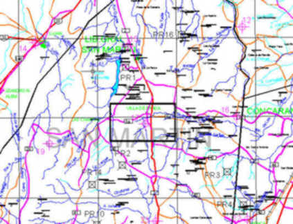
(approx 4.200 points GPS), digitalization of all the cartography of
the province, supported in existing letters, conversion of
coordinates, upset of graphical information on system CADD
(commercial software) and in data base, general control of computer
science cabinet and the equipment of field, training of the
technical personnel, development of system computer science own for
control of all the compiled information alphanumeric and graphical
with remote access to the cadastral data in it forms interactive,
allowing an immediate laser impression of It registers cadastral.


